
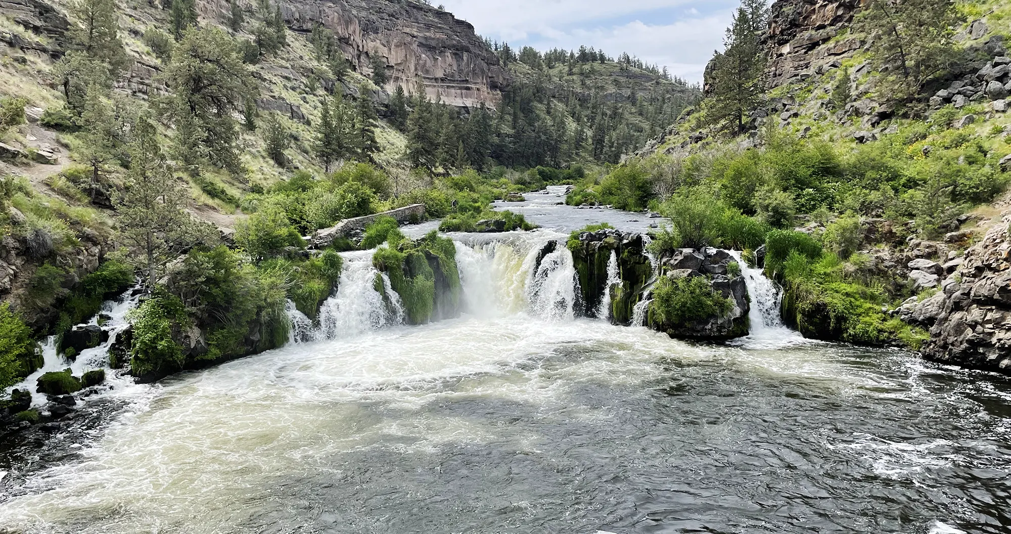
Lower Falls Creek Falls Hike
The hike to Falls Creek Falls in Washington is a great short out and back style hike that follows Falls Creek most of the way to the popular Falls Creek Falls. The round trip hike if you just do a basic out and back is roughly three and a half miles total which makes this ideal for a quick hike. Lower Falls Creek Falls itself is a beautiful multi-tiered waterfall that plummets over 250 feet and offers spectacular views and a more intimidate feeling than more popular waterfalls in the area.
The Hike
The hike starts at the Lower Falls Creek Falls Trailhead and meanders through the woods parallelling Falls Creek. After some time the trail will cross the creek at which point most of the hike will lack easy access to the creek so if you have a pooch that likes to swim you may want to let them in the water early on the hike. There are no real strenuous or difficult aspects of this hike and it mildly follows the creek with a few short hills that may get the blood moving in your legs but nothing to worry about. At one point the trail gives an option to veer left however for the shortest version of this hike you will just want to stay right the entire hike in to the falls.
Lower Falls Creek Falls
Once you reach Lower Falls Creek Falls you have some options for photos. There will be a cliff that sticks out a bit and offers some nice views and for the adventurous type you can scramble down the hill to the base of the falls though you will most likely get wet doing so and it can be a fairly dangerous descent. Another option for falls view is to manuever your way to to the base of the upper section of Lower Falls Creek Falls. This requires traversing the hillside on a un-maintained and sketchy trail that is also fairly dangerous. If you do it, however, you will be rewarded with great views of the upper tier of the lower falls.


Getting There
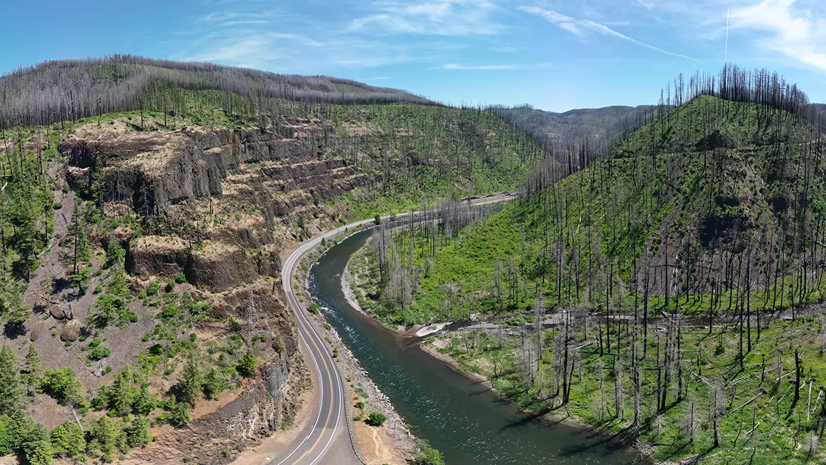
The Lower Falls Creek Falls trailhead is located about 20 minutes past the town of Carson, Washington and is easily accessible by most vehicles. To get there from Portland take Highway 84 out to the Bridge of the Gods and Cross over into Washington onto Highway 14. Follow Highway 14 East until the turn off for the down of Carson onto the Wind River Highway. You will follow the Wind River Highway North for roughly 15 miles until the road veers abruptly right. From here you you will want to keep your eyes peeled for the dirt road turn off onto FSR 3062 which will show up in less than a mile. Take this road on the right and follow FSR 3062 for just under two miles until you reach the trailhead. There will be signs leading you to the trailhead and for those of you who like GPS you can just enter these coordinates into your navigation system or phone to find the trailhead: 45.905794, -121.940554.


Responses