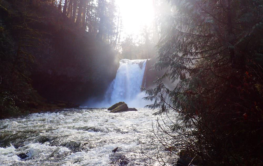
Lower Clackamas Falls
3.0 out of 5 stars (based on 1 review)
Details
- GPS: 45.190320, -122.22783
- Elevation: 830 feet
- Attraction Type: Waterfall
- Waterfall height: 60 feet
- Waterfall Source: South Fork Clackamas Creek
Lower Clackamas Falls Attraction Description
Lower Clackamas Falls is located the South Fork Clackamas Creek – a tributary to the well known Clackamas River. While it is a good sized waterfall, Lower Clackamas Falls is not well known as access to it is fairly difficult and requires either the fording of the Clackamas River or a long scramble type hike down a steep hillside, across a washed out bridge and then down another loose rock covered hillside.
Lower Clackamas Falls Map
Videos
Weather for Lower Clackamas Falls
{{current_weather.dt | momentjs( atts.date )}}
{{current_weather.temp | temp}} °{{units}}
{{day.dt | momentjs(atts.date)}}
{{day.temp | temp}} °{{day.temp_min | temp}} °{{units}}
Lower Clackamas Falls Campground Photos


")
")
Nearby Campgrounds
|
Lazy Bend 1 Miles Away
|
Promontory Park No image for this location. 2.1 Miles Away
|
Carter Bridge 3.8 Miles Away
|
Lockaby 4.1 Miles Away
|
Armstrong 4.1 Miles Away
|
*Distances are as the crow flies
Other Nearby Attractions/Activites
*Distances are as the crow flies
No Title
Comments/Questions